
Foundations of ArcGIS Pro: Spatial Data Management and Map Production

Aug. 19, 2026, 1:20 p.m.

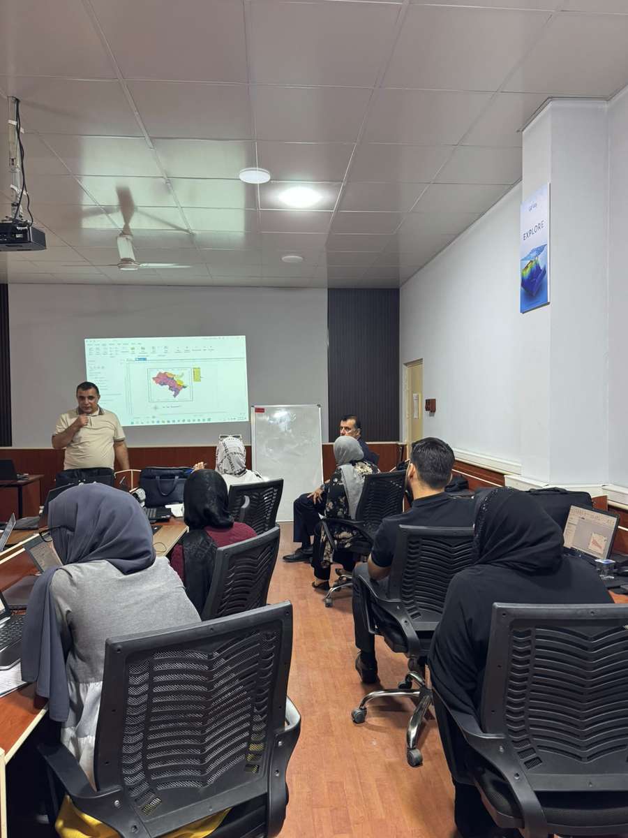
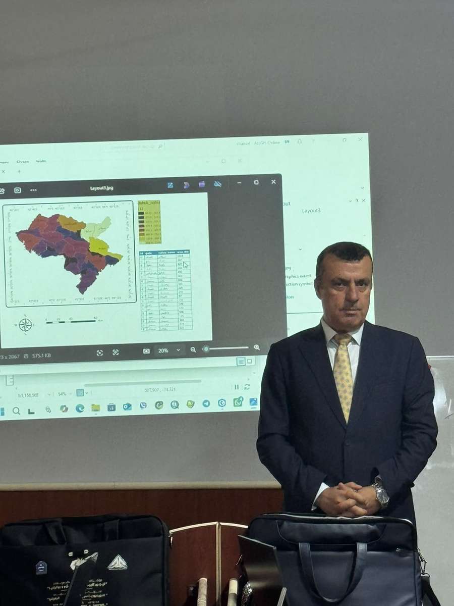
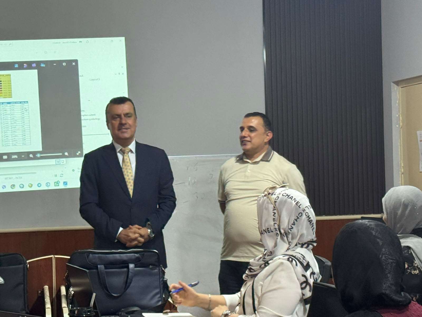
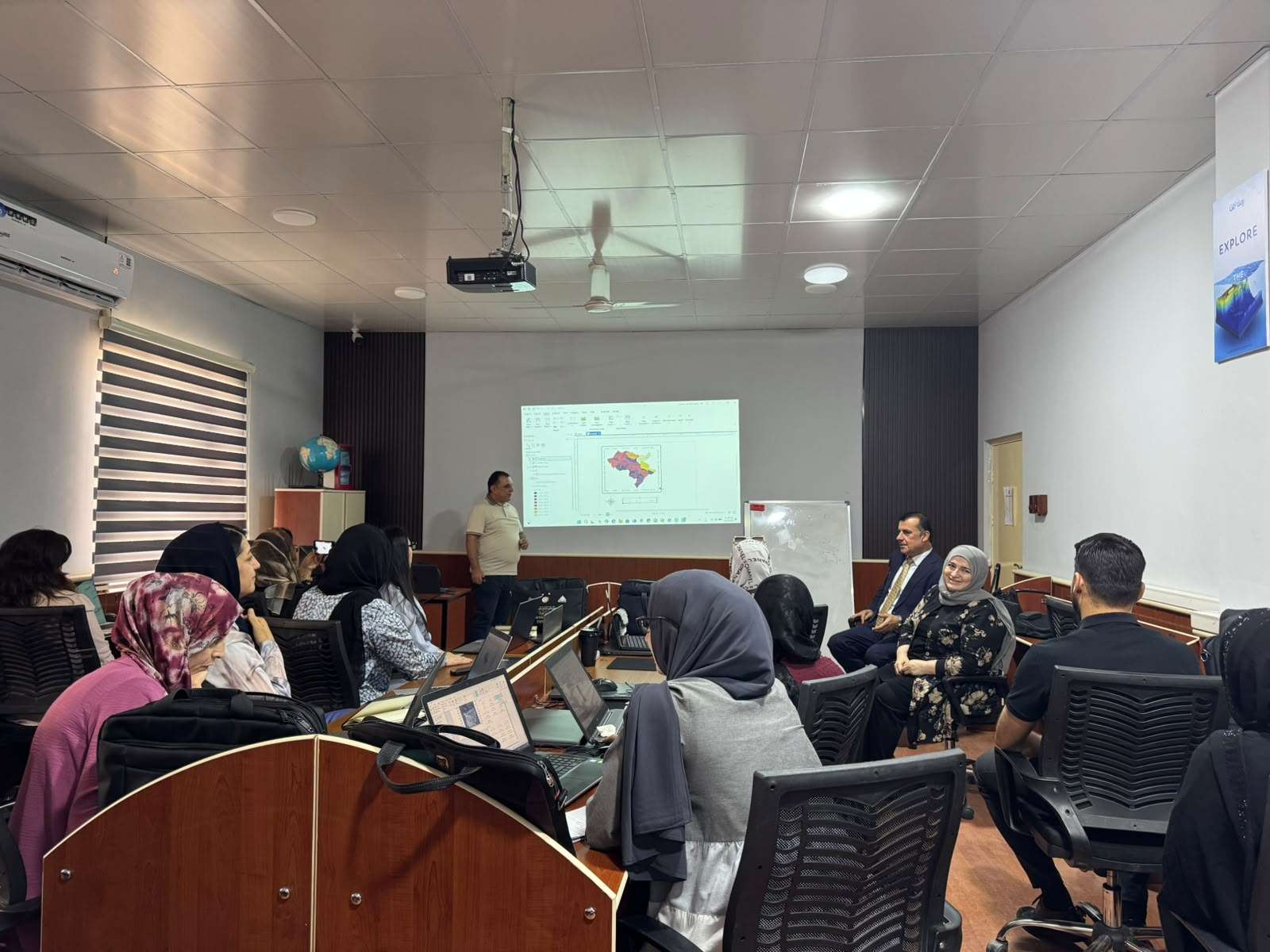
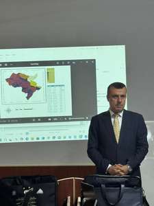
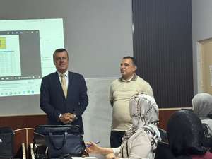
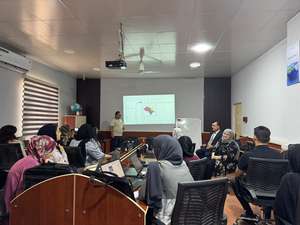
The academic staff members of the Department of Applied Geography and Geographic Information Systems (GIS) organized a training course entitled "Foundations of ArcGIS Pro: Spatial Data Management and Map Production", specifically designed for the department’s teaching staff.

The organization of this course is part of the department’s continuous academic and professional development programs, aiming to enhance the capabilities of faculty members in the field of modern geospatial technologies and to develop their practical skills in spatial data management, analysis, and digital map production using advanced Geographic Information Systems (GIS) technologies.

Furthermore, this training course represents an important preparatory step within the department’s strategic direction toward updating and developing its academic curriculum in accordance with recent advancements in Applied Geography and Geographic Information Science. It also aims to strengthen the integration of geospatial technologies into teaching and research activities.

Through this initiative, the department seeks to enhance the technical competencies of its academic staff, support the adoption of modern teaching methodologies, and ensure that its academic programs remain aligned with contemporary scientific developments and advanced standards in the fields of Applied Geography and Geographic Information Systems.

Course Title:

Foundations of ArcGIS Pro: Spatial Data Management and Map Production

Geographic Information Systems (GIS) have become one of the most important modern technologies for managing, analyzing, and visualizing spatial data, as well as supporting decision-making processes across various academic and professional fields. The course "Foundations of ArcGIS Pro: Spatial Data Management and Map Production" provides a comprehensive scientific and practical introduction to the fundamental capabilities of ArcGIS Pro, one of the leading software platforms specialized in spatial analysis, geographic data management, and digital cartographic production.

This five-week training course is designed to provide participants with the essential knowledge and practical skills required to work effectively within the ArcGIS Pro environment. The course begins with an introduction to the software interface and the structure of spatial datasets, followed by the management of vector and raster data, basic spatial analysis techniques, and the application of cartographic principles for producing accurate and professional-quality maps.

The course includes a series of practical exercises and hands-on activities aimed at developing participants’ abilities in organizing and managing spatial databases, performing fundamental geographic analyses, and creating high-quality digital maps that meet academic, professional, and institutional requirements.

Learning Outcomes

Upon successful completion of the course, participants will be able to:

  • Understand the ArcGIS Pro working environment and identify different types of spatial data and their applications.
  • Manage, organize, and edit spatial datasets using appropriate ArcGIS Pro tools and workflows.
  • Apply fundamental spatial analysis techniques to extract and interpret geographic information.
  • Design and produce professional digital maps based on established cartographic principles.
  • Prepare and export maps for academic publications, professional reports, and institutional applications.

Schedule training plan for the course:

Week Time Topics Exercises Outcomes
1 Sunday, 19 July 2026, (4 hours)
Wednesday, 22
July 2026(4 hours)
Introduction to ArcGIS Pro Dr. Nashwan - Create a new project
- Add a basemap
- Explore navigation tools (zoom,
pan, bookmarks)
Understand the ArcGIS Pro interface
and project structure
2 Sunday, 26 July 2026, (4 hours)
Wednesday, 29
July 2026(4 hours)
Working with Spatial Data Dr. Shamal - Import a shapefile of countries -
Explore attribute tables
- Change map projection
Recognize vector vs. raster data,
manage layers, and understand coordinate systems
3 Sunday, 2 August 2026, (4 hours)
Wednesday, 5
August 2026(4 hours)
Data Management Essentials Dr. Samir - Create a geodatabase
- Import shapefiles and rasters
- Edit features (points, lines,
polygons) - Apply symbology
Organize spatial data, edit features,
and symbolize maps effectively
4 Sunday, 9 August 2026, (4 hours)
Wednesday, 12
August 2026(4 hours)
Basic Spatial Analysis Dr. Dlovan - Select features by attribute
- Create buffers around cities
- Clip data to a region of interest -
Perform a spatial join
Apply core spatial analysis tools to
answer geographic questions
5 Sunday, 16 August 2026, (4 hours)
Wednesday, 19
August 2026(4 hours)
Map Design and Layouts Dr. Shamal - Design a thematic map (e.g.,
population density)
- Add map elements (title, legend,
scale bar, north arrow)
- Export map to PDF
Produce clear, professional maps
ready for presentation or publication